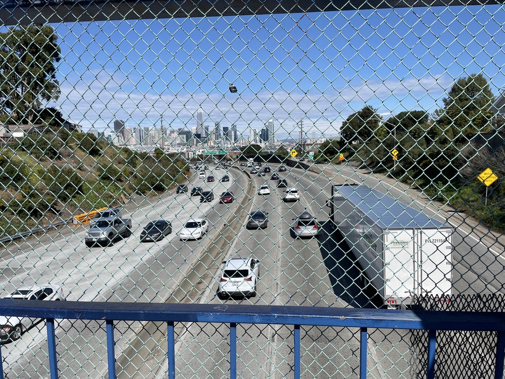
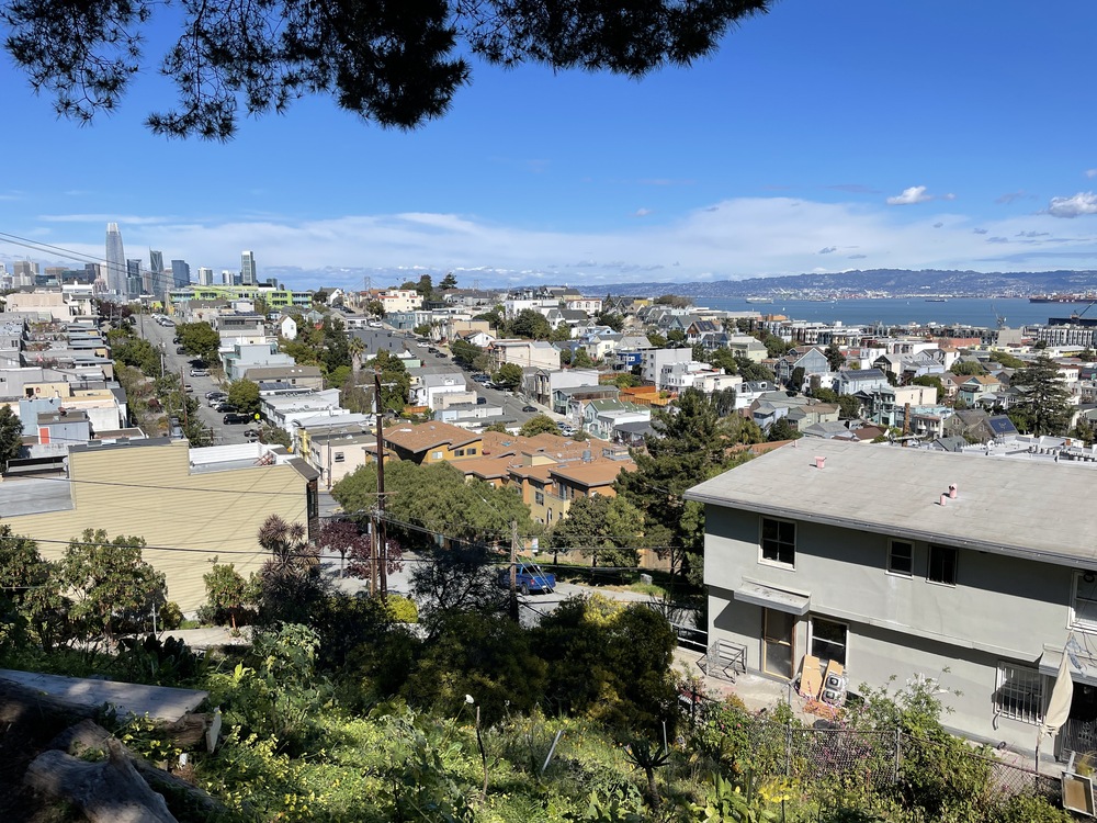
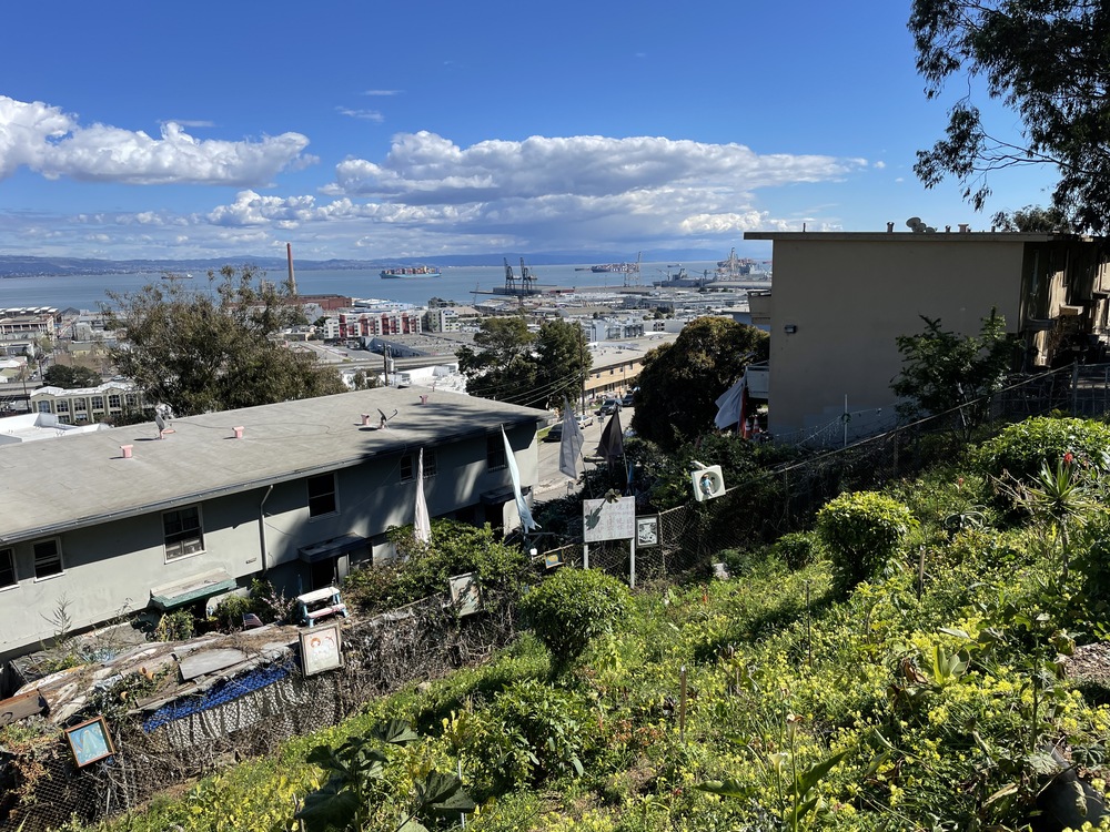
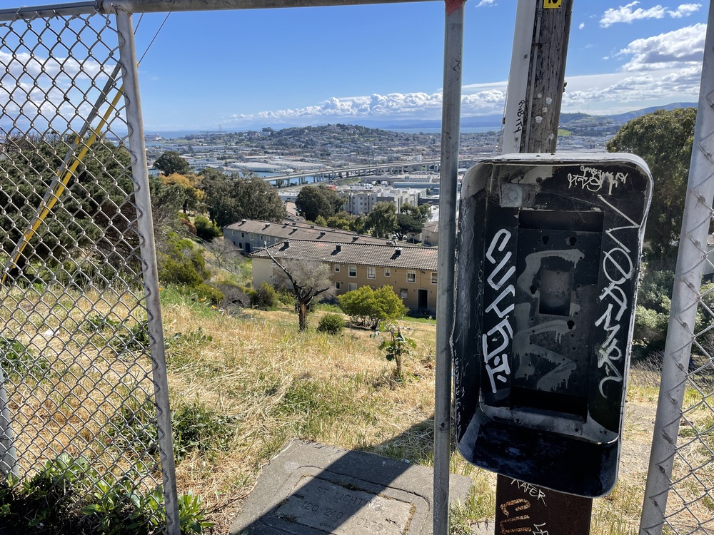
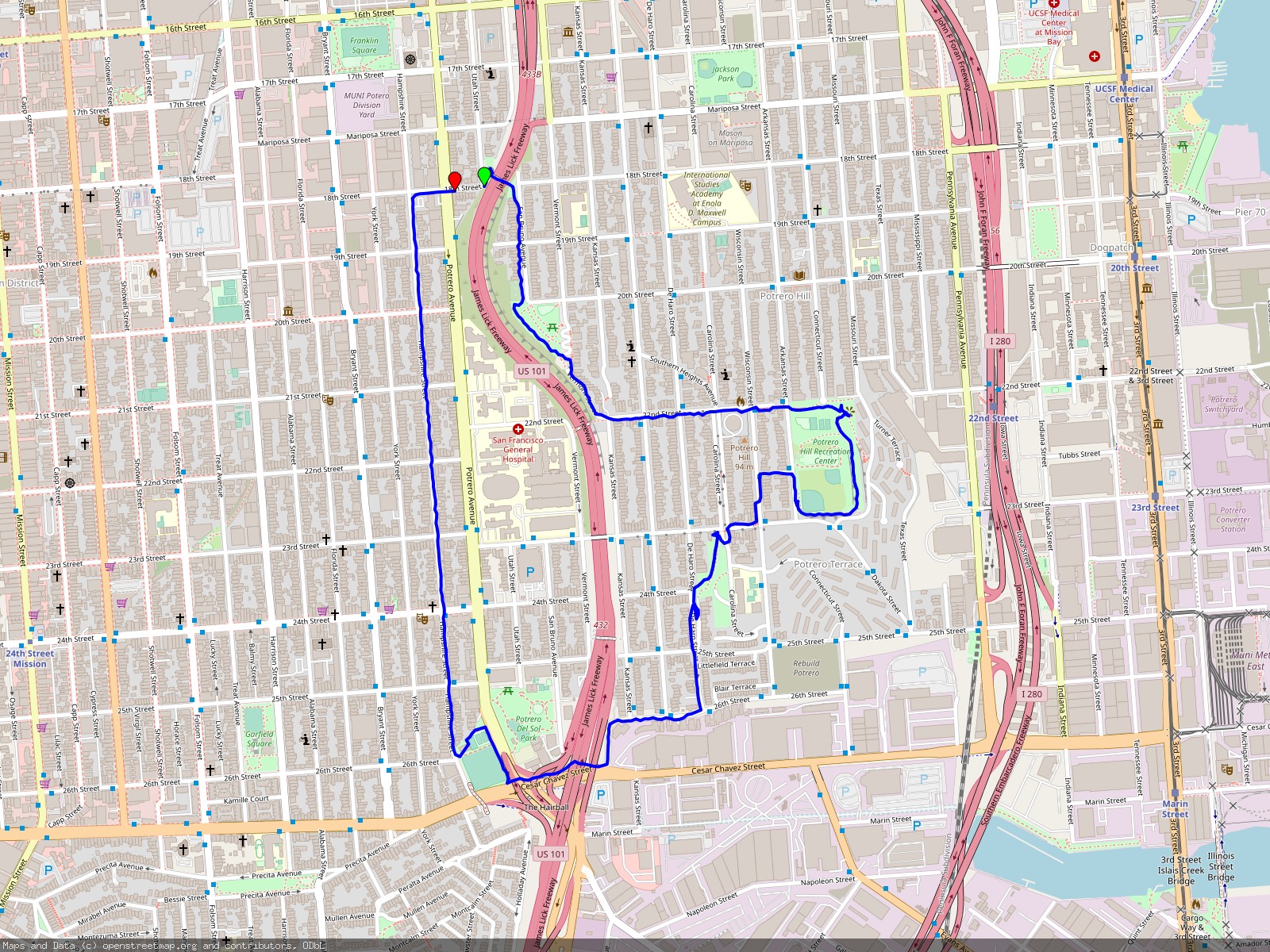
Park at 18th and Utah St and get on the footbridge crossing I-80. Turn right and walk upward on San Bruno Ave. Upon entering McKinley Square, either stick to the route closest to the freeway or twisting Vermont St, also known as 'Lombard of Locals'. At the bottom, turn left and walk up the steep hill on 22nd St. Behind the 'Dead End' sign at the top, find the stairs down to Arkansas St and then keep going straight following the dirt path.
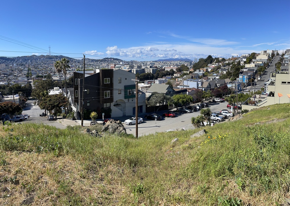
Stay right to surround the rec center and exit again on Arkansas St further south. Follow 23rd St west and enter Starr King Open Space and check out the swings. Cross diagonally through the grass and exit west onto De Haro St., to walk south. Make a right on 26th St. and follow Vermont down to Cesar Chavez.
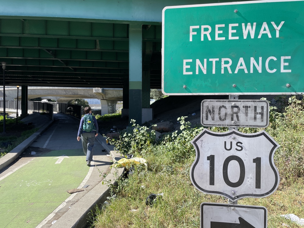
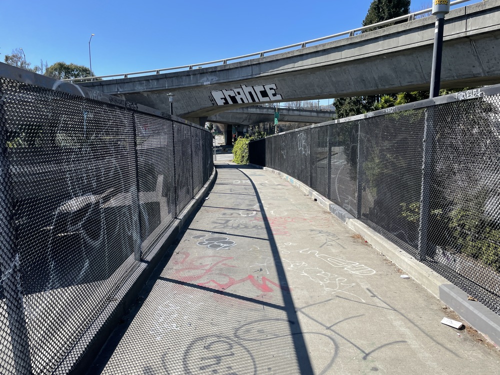
Follow the bike lane through the freeway maze, then cross through Rolph Playground to get to Hampshire St. Continue going north, until 18th St, then turn right to get to the parking location.