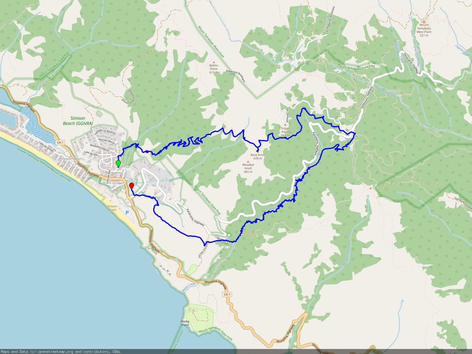
This four hour hike starts and ends in Stinson Beach, about 20 miles north of San Francisco. It covers a fair amount of elevation at first, but then levels out and offers great views, weather and fog permitting.
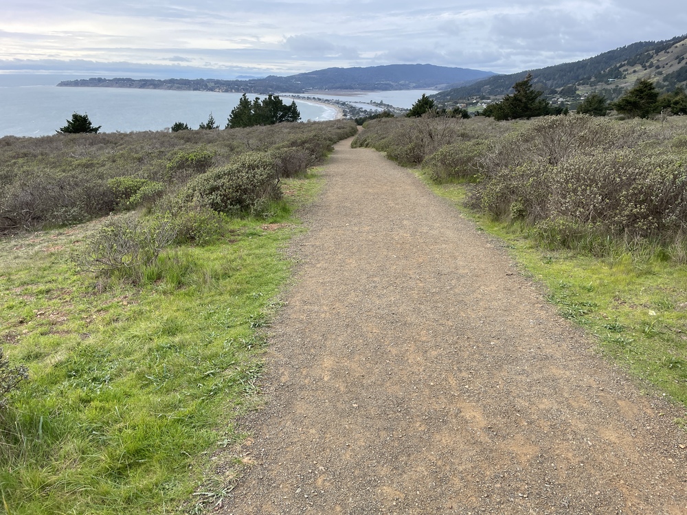
Park somewhere near the beach and proceed up Laurel Ave, then make a right at Buena Vista Ave, which turns into publicly accessible dirt path right by the garden of a residence. The path crosses over to meet Matt Davis Trail, follow the latter upwards.
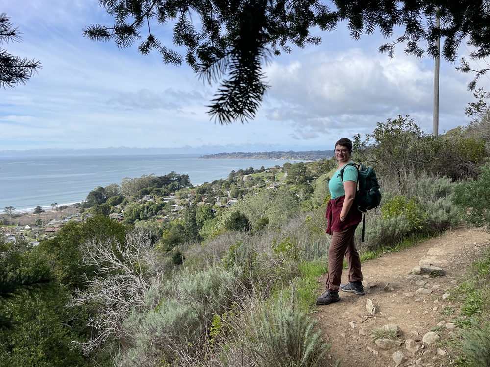
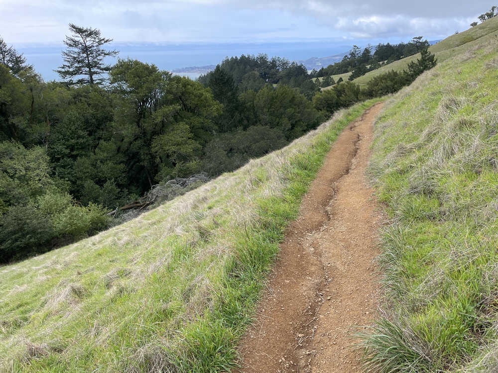
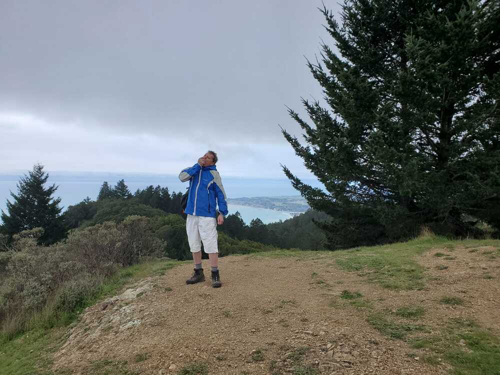
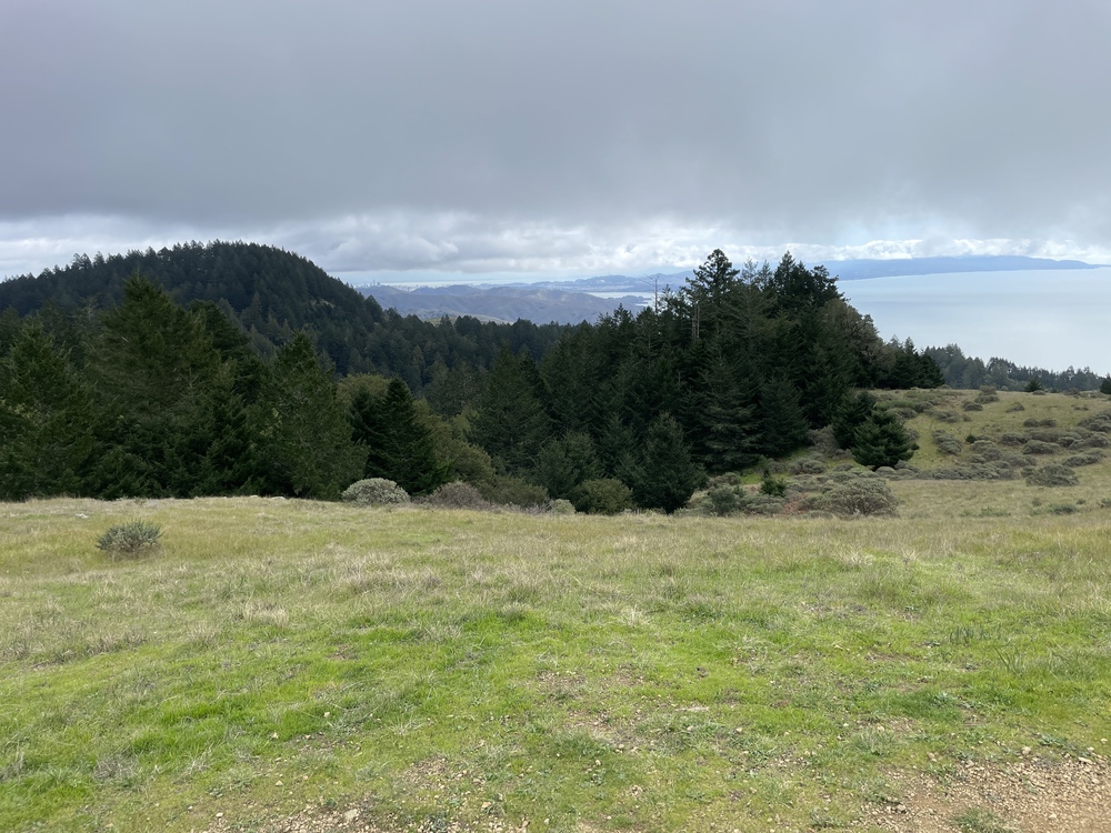
After a long ascent, the wooded area opens up and a path leads along the grassy ridge, offering views of beach and ocean. At Bare Knoll Point, on a clear day, you can see the skyscrapers of downtown SF!
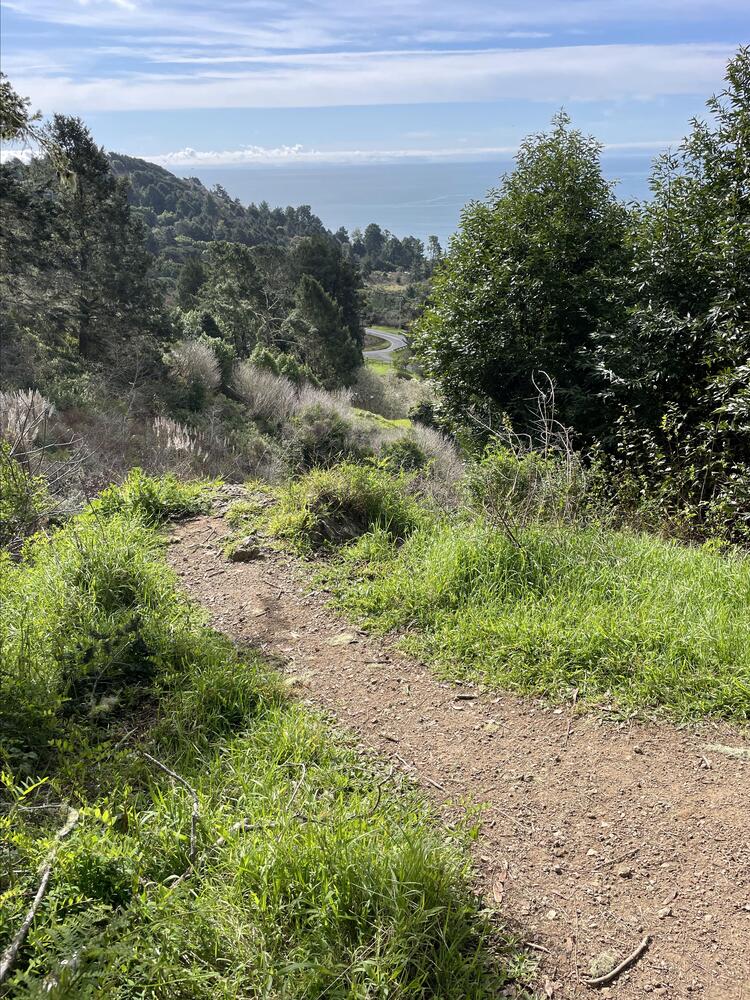
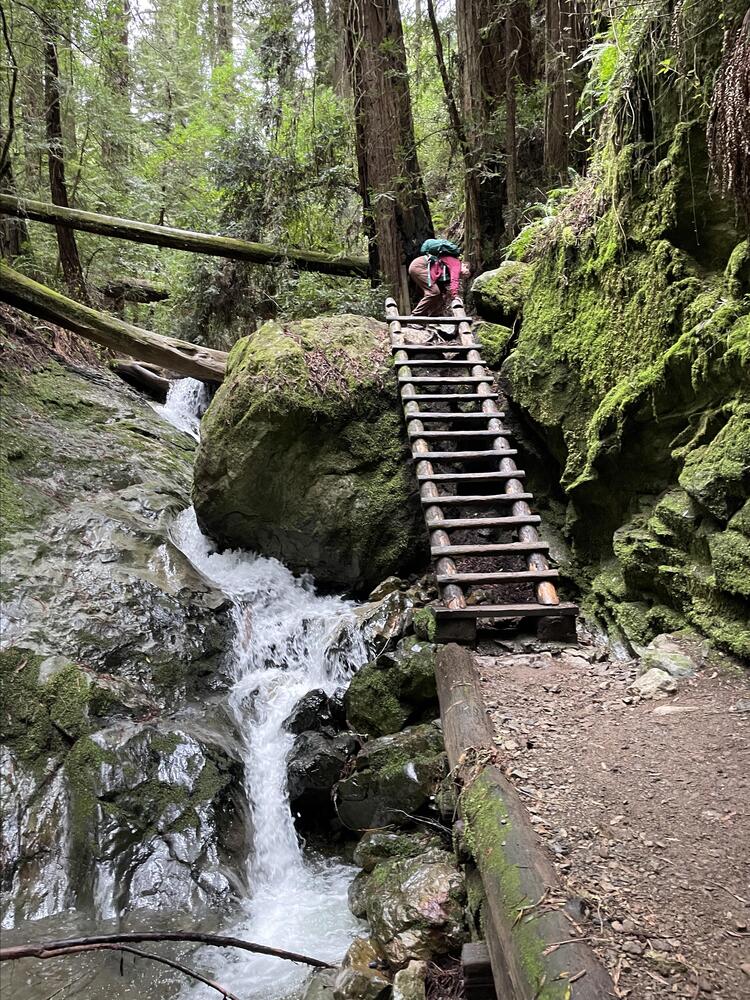
Follow Matt Davis Trail all the way to Pan Toll Campground, and take Steep Ravine Trail downward from there. It eventually leads along a small creek with waterfalls, and even requires climbing down a very well made ladder at some point!